The Annapurna Base Camp Route, Mapped
Anos Tamang
Founder and trekking guide, Shamar Treks
A line on a map tells you where the trail goes. It does not tell you why it goes there, which on this trek is the interesting part — because there is only one way in.
The Sanctuary has a single gate
Annapurna Base Camp sits inside a glacial basin known as the Annapurna Sanctuary, ringed almost completely by peaks over 6,000 m. The wall is continuous except in one place: a narrow gorge between Hiunchuli (6,441 m) and Machhapuchhre (6,993 m), cut by the Modi Khola draining out of it.
That gap is the route. There is no alternative approach, no second pass, and no way to make this a loop. You walk up the gorge and you walk back down it, and the geography is the reason the trek has the shape it has.
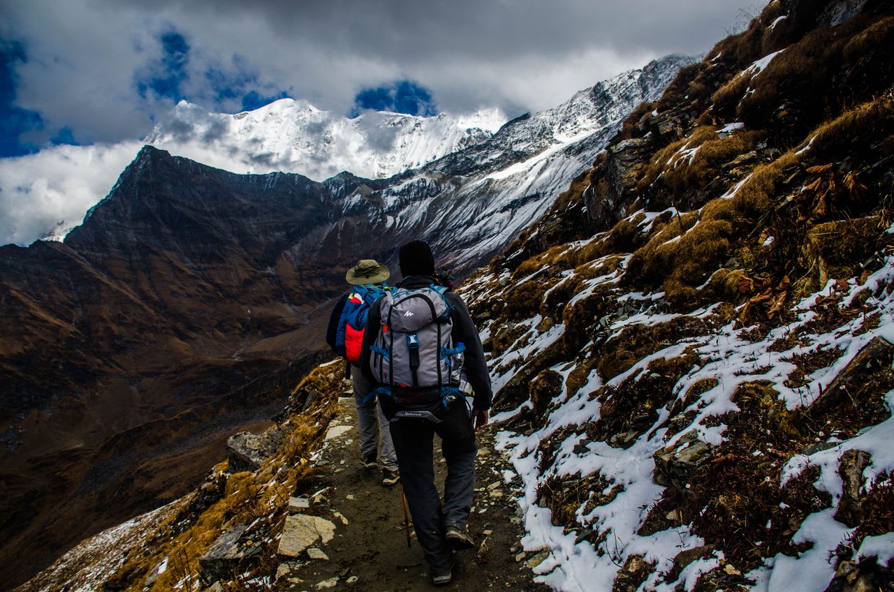
It also explains why the trail keeps dropping to the river and climbing again: a steep-sided gorge gives a path nowhere flat to run. That is where the cumulative ascent comes from.
The waypoints, with altitudes
| Place | Altitude | Why it matters |
|---|---|---|
| Kimche | 1,640 m | Current roadhead on the way in |
| Chhomrong | 2,170 m | Last real village, last shops; the staircase |
| Bamboo | 2,310 m | Forest stop, no view |
| Deurali | 3,230 m | Last stop below the exposed section |
| Machhapuchhre Base Camp | 3,700 m | The gorge opens; the Sanctuary begins |
| Annapurna Base Camp | 4,130 m | Inside the ring |
| Jhinu Danda | 1,780 m | Hot springs, on the way out |
| Siwai | 1,520 m | Roadhead on the way out |
Why no two maps of this trek agree
Compare three published ABC maps and you will find three different starting points. This is not sloppiness — it is that roadheads in Nepal move, and a printed sheet records wherever the bulldozers had reached in the year it was surveyed.
The practical effect for anyone planning from a map: the first and last day of almost every published itinerary are out of date, and the distance figure printed on the sheet is measuring a longer walk than you will do. Anything describing a start at Birethanti or Nayapul predates the current access entirely.
What is stable, and what you can rely on any map for, is everything above Chhomrong. The gorge cannot be widened, so no road will ever be built into the Sanctuary, and the upper half of this route will look the same on a map printed in thirty years. Plan the top of the trek from the map and confirm the bottom of it with your operator.
The Annapurna Circuit has the opposite problem: there, road building reached high into the route and changed the walk itself, not merely where it starts.
The standard seven-day shape
Read as a route rather than a schedule — the day-by-day detail sits on the trek page itself.
- Days 1–2 — roadhead to Chhomrong, then down the staircase and up the far side to Bamboo. You are in forest, below the treeline, with little sense of what is ahead.
- Day 3 — Bamboo to Deurali. The gorge narrows, the forest thins, the walls close in on both sides.
- Day 4 — the exposed stretch past Hinku Cave, crossed early, then MBC and the opening of the Sanctuary. This is the day the trek changes character entirely.
- Days 5–7 — back down the same gorge, with a detour to the hot springs at Jhinu Danda before the roadhead.
Three variations worth knowing
Adding Ghorepani and Poon Hill
The most common extension we are asked for. The two routes share trail around Ghandruk, so Poon Hill bolts on for roughly three extra days and adds a classic sunrise viewpoint to the Sanctuary. If you have the time, this is the version to do.
Exiting via Jhinu Danda
Not really optional in our view, and built into our itinerary. A twenty-minute descent below Jhinu reaches stone pools fed by a natural hot spring beside the Modi Khola. After five days of stone staircases, the case for it makes itself.
Starting from Ghandruk rather than Kimche
Slightly longer on foot, and it puts a genuine Gurung village on the first day instead of a roadhead. Worth it if you want a cultural day at the start and have one to spare.
Orienting yourself once you are inside
The Sanctuary disorients people, because a basin ringed on every side removes the usual cues. No lodge has a board explaining what you are looking at, so it is worth arriving knowing the compass.
Stand outside the lodges at Base Camp facing away from the gorge you walked up:
- Behind you, south-east — the gap you came through, with Machhapuchhre on its northern side and Hiunchuli on its southern
- To your left, south-west — Annapurna South and the ridge running up to Baraha Shikhar
- Ahead, north-west — Annapurna I at 8,091 m, the high point of the whole wall
- To your right, north — the cone of Tharpu Chuli standing in the middle of the basin, with Singu Chuli behind it
The glacier underfoot drains south-east out of the gap as the Modi Khola, which is the river you have been following upstream for four days. Everything in the basin flows out through the single gate — the geography is that simple, once you can see it.
The peak directly above the lodges has a history worth reading before you go: Annapurna I, the mountain above Base Camp.
Maps worth carrying
Phone navigation works on this trail and the route is essentially unmissable — there is one gorge and one path up it. A paper map is still worth having for naming what you are looking at, and the 1:50,000 sheets sold in Pokhara and Kathmandu are adequate for that.
What a map will not show reliably is where the road currently ends. Roadheads in Nepal move every year or two, which is why no printed sheet agrees with the one before it.
Before you book
The route is the easy part to understand. The things that decide whether the trip works are how hard it actually is, what the weather does at 4,130 m, and what it costs. The Annapurna region guide puts this route next to every other option in the region.
About Anos Tamang
Founder and trekking guide, Shamar Treks
Anos Tamang is the founder of Shamar Treks and a working trekking guide. He leads trips across Nepal's trekking regions and writes here about the practical side of them — routes, permits, seasons and the decisions that make the difference on the trail.