How Long Is the Annapurna Circuit?
Anos Tamang
Founder and trekking guide, Shamar Treks
There is no single honest answer to this, and anyone who gives you one without a caveat is quoting a trek that largely no longer exists. The Circuit has been shortened — not by trail closures, but by road building — and what you walk now depends on choices you make at booking.
The short answer
| Version | Distance | In miles | Days walking |
|---|---|---|---|
| Classic, Besisahar to Nayapul on foot | ≈ 230 km | ≈ 143 mi | 18–21 |
| Common today, jeep at both ends | 160–180 km | 100–112 mi | 12–14 |
| Compressed, jeep to Manang | 80–110 km | 50–68 mi | 7–9 |
All three get called "the Annapurna Circuit". When an operator quotes a distance, the only useful follow-up is where you start walking and where you stop.
What the road did, and where it reached
This is the part that distinguishes the Circuit from Annapurna Base Camp, where the road stopped at the mouth of the valley and could go no further.
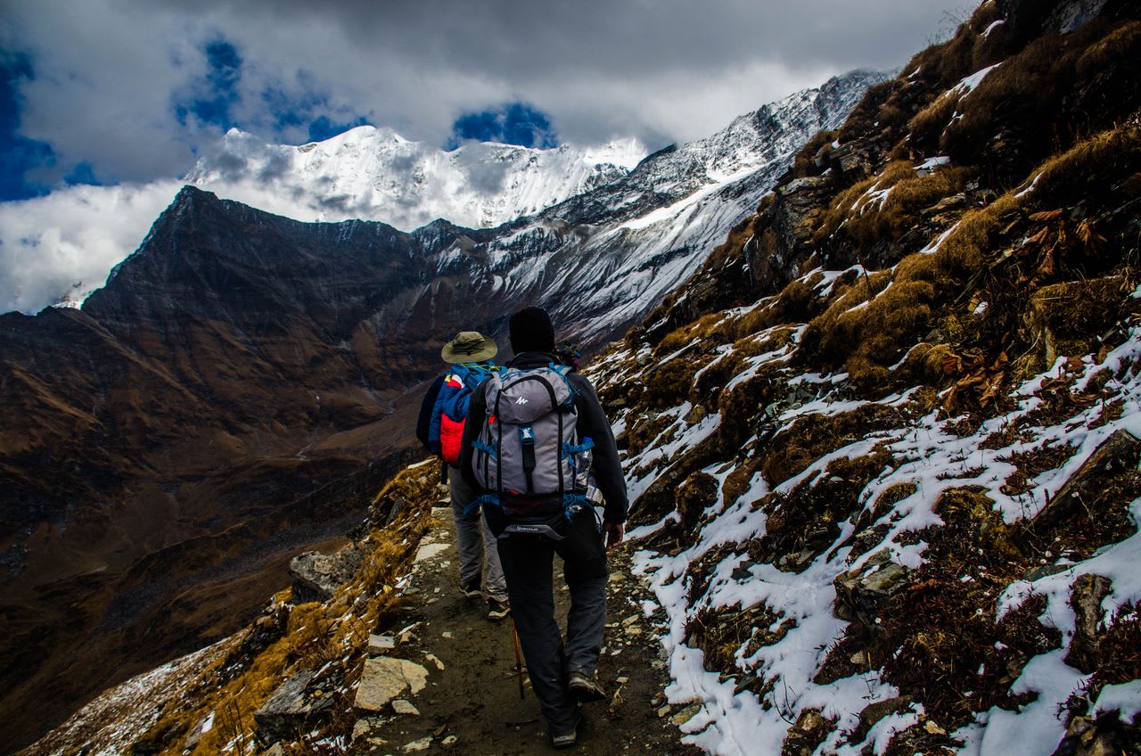
Here it went most of the way. A road now runs up the Marsyangdi on the eastern side as far as Manang (3,519 m), and up the Kali Gandaki on the western side through Muktinath (3,800 m) and Jomsom (2,720 m). Between those two roadheads lies the section nobody can drive: the crossing of Thorong La at 5,416 m.
So the Circuit has become, in practice, a trek around a pass rather than a trek around a massif. The high middle is intact and spectacular; the approaches are negotiable.
The NATT trails, which are the reason it still works
When the road arrived, the walking did not simply end — a network of marked footpaths was established to keep trekkers off it. The New Annapurna Trekking Trails, marked with red and white paint flashes, run parallel to the road on the opposite bank or higher on the hillside for much of its length.
They are longer and steeper than walking the road, and they are the difference between a good Circuit and a dusty one. If an itinerary does not mention them, ask. Walking the road because nobody knew the alternative existed is the most common way this trek disappoints people.
The profile, which matters more than the distance
| Place | Altitude | Note |
|---|---|---|
| Besisahar | 760 m | Classic start — subtropical, hot |
| Manang | 3,519 m | Acclimatisation stop; eastern roadhead |
| Yak Kharka | 4,050 m | Above the treeline |
| Thorong Phedi | 4,525 m | Base of the pass |
| Thorong La | 5,416 m | The high point, crossed east to west |
| Muktinath | 3,800 m | Pilgrimage site; western roadhead |
Note the span: from 760 m to 5,416 m. The Circuit climbs through more vertical and more climate zones than any other teahouse trek in Nepal, from banana trees to a glaciated pass. That range, rather than the kilometre count, is what the trek is actually about.
Why it is walked anticlockwise
Almost universally, east to west — Besisahar first, Thorong La, then down to Muktinath. This is not tradition, it is physiology.
Going this way, you gain height gradually over a week and cross the pass from Thorong Phedi at 4,525 m, which is an ascent of about 890 m on the day. Reverse it and you would climb from Muktinath at 3,800 m to 5,416 m — over 1,600 m in a single push, from a lower sleeping altitude, with far less acclimatisation behind you.
People do walk it clockwise. It is a markedly worse idea and the pass turns back more of them.
Days, and the two side trips that change the number
Twelve to fourteen days is the common modern Circuit. Two additions are worth knowing about:
- Tilicho Lake (4,919 m) — a detour of three to four days from Manang to one of the highest large lakes in the world. It is the single best addition to this trek and it also improves acclimatisation before the pass.
- Poon Hill — bolted onto the western end, adding two to three days and a sunrise viewpoint.
Our own Annapurna Circuit with Tilicho Lake includes the lake for exactly the acclimatisation reason above.
So which distance should you plan around?
Plan around days and altitude, not kilometres. On a trek that crosses 5,416 m, the number that determines whether you finish is how many nights you spend between 3,500 m and 4,500 m beforehand — not how far you walked to get there.
A 160 km Circuit with proper acclimatisation is a far better trip than a 230 km Circuit rushed. The distance figure is the one thing on this page that matters least, which is unfortunate given it is what everybody searches for.
Circuit or Base Camp?
They are different trips. The Circuit is a long traverse through changing country with a serious pass; Annapurna Base Camp is a week up a gorge into an amphitheatre. The Circuit asks more of your schedule and your acclimatisation; ABC asks more of your legs in a shorter span.
Costs for both are broken down in what the Annapurna treks actually cost, and the Annapurna region guide puts every route here side by side.
About Anos Tamang
Founder and trekking guide, Shamar Treks
Anos Tamang is the founder of Shamar Treks and a working trekking guide. He leads trips across Nepal's trekking regions and writes here about the practical side of them — routes, permits, seasons and the decisions that make the difference on the trail.