
Langtang Region, Nepal
Tamang Heritage Trail Trek
Seven days through Tamang villages in Rasuwa, north of Kathmandu, on a trail that never goes above 3,165 m — the one Himalayan trek where altitude is not a factor you have to plan around.
Package Overview
Best Time to Visit
March to May, October to December
Guided & Permitted
Licensed, insured guide and all trekking permits included
The only Nepal trek where altitude is not something you plan around
The high point of this trail is Nagthali at 3,165 m. You sleep lower than that every night. For context, Namche Bazaar on the Everest trail is 3,440 m — higher than anything you reach here, and that is where most Everest trekkers spend their first acclimatisation day.
That single number is the reason this trek exists, and it is the reason to choose it. Acute mountain sickness is rare below about 3,000 m and uncommon below 3,500 m. On this route there is no acclimatisation schedule to respect, no evening headache to assess, and no decision about whether someone should go higher in the morning.
That makes it the trek we recommend to people the high routes do not suit: travellers in their seventies, anyone with a managed heart or lung condition, families with children under ten, and people who tried altitude once, had a bad time and assumed Nepal was closed to them. It is not.
What you give up, stated plainly
You do not get a mountain in your face. Langtang Lirung (7,227 m), Ganesh Himal (7,422 m) and the Sanjen peaks are visible from the ridges, but across valleys rather than overhead. If the image you have in mind is standing beneath an eight-thousander, this is the wrong trek and you want Langtang Valley or something in Khumbu.
What you get instead is the thing the high routes mostly lack: villages that are still villages, where the building you sleep in is somebody's house.
| Tamang Heritage Trail | Langtang Valley | |
|---|---|---|
| Highest point | 3,165 m | 4,985 m (Tserko Ri) |
| Altitude risk | Negligible | Real — requires acclimatisation |
| Nights | Mostly homestays | Lodges |
| Mountain views | Distant, across valleys | Close and continuous |
| Suits | Culture, families, older walkers | Walkers wanting height |
Rasuwa after 2015, and why the homestays exist
This matters, and most pages skip it. Rasuwa was among the districts worst hit by the April 2015 earthquake. Villages along this trail lost a large share of their buildings, and the district's recovery took years rather than months.
The homestay network you will stay in was rebuilt deliberately as part of that recovery — not as a tourism gimmick but as a way of routing visitor money into individual households rather than into a handful of lodge owners. It is the practical reason we route this trek through homestays wherever one operates, and the practical reason your night's payment lands in the valley rather than leaving it.
Expect the consequences of that honestly: rooms are simple, bathrooms are often shared and outside, and the food is what the family eats. The trade is that you spend an evening in a kitchen rather than a dining hall.
Who the Tamang are
The Tamang are one of Nepal's largest ethnic groups, of Tibetan origin, and Rasuwa is one of their heartlands. The architecture is stone and carved wood, the religion is Tibetan Buddhist with older Bon elements underneath it, and the villages run on a calendar of their own.
The trail itself is not invented for trekkers. It follows the paths between these villages and on towards Rasuwagadhi, the crossing into Tibet, along a salt-trade corridor that predates tourism by centuries. Gatlang and Thuman both have working gompas, and in Briddim the houses are flat-roofed and Tibetan in plan.
Tatopani, which earns its place in the itinerary
Day three finishes at Tatopani — literally "hot water" — where natural springs come out of the hillside and have been channelled into stone pools. Nepal has a lot of places called Tatopani; this one is worth the name.
It lands on the evening before the climb to Nagthali, which is the hardest walking of the week, and that sequencing is deliberate rather than accidental.
How hard is it, really
Easy by Nepali standards, which still means four to six hours of walking a day on hill paths with real ascent in them. The climb from Tatopani to Nagthali gains around 560 m and is the one day people feel.
| Day | Walking | What it asks of you |
|---|---|---|
| 1 | Drive + 3–4 hrs | A long road day, then a short walk up to Gatlang |
| 2 | 5–6 hrs | Down to the Bhote Koshi and back up — the longest day |
| 3 | 4–5 hrs | Steady climbing to the hot springs |
| 4 | 5–6 hrs | The Nagthali climb, then a long descent to Thuman |
| 5 | 5–6 hrs | Contouring to Briddim via the border road at Timure |
| 6 | 3–4 hrs | An easy descent back to Syabrubesi |
There is no technical ground, no fixed rope, no glacier and no pass. Boots and a pair of poles cover it.
Permits
- Langtang National Park entry permit
- TIMS card
Both are included and arranged by us in Kathmandu — bring your passport and two passport photographs. This is not a restricted area, despite how close the trail runs to the Tibet border, so there is no restricted-area permit and no minimum group size. Fees are set by the Department of National Parks and Wildlife Conservation and change periodically; the price we quote you is the price.
When to come
October to December is the clearest and the most settled, and because the trail sits low it stays comfortable well into the winter when the high routes have emptied out. March to May brings rhododendron through the forest below Nagthali.
Monsoon is the one season we will talk you out of. The access road from Kathmandu to Syabrubesi runs through steep, landslide-prone country, and in a wet July the risk is the drive rather than the walking.
Adding Langtang Valley
Both trails start from Syabrubesi, so the two combine without backtracking. Adding Langtang Valley takes the trip to around twelve days and takes you to 3,870 m at Kyanjin Gompa, with Tserko Ri at 4,985 m as an option from there.
It is the most common extension we are asked for, and the honest caveat is that it reintroduces the altitude question this trek was chosen to avoid. If that was the reason you picked this trail, keep it as it is. The Langtang region guide compares every route here, including Gosaikunda to the south.
Where this trek goes
- Kathmandu Valley — Seven UNESCO Monument Zones within an hour of each other
Related activities: Trekking in Nepal, Village Homestays in Nepal, Cultural & Heritage Tours.
Or compare every trip we run: all trekking and tour packages.
Trip Highlights
A maximum altitude of 3,165 m, which takes AMS essentially off the table
Homestays in Tamang households rather than commercial lodges
Natural hot springs at Tatopani, mid-trek
Nagthali meadow, looking across to Langtang Lirung and Ganesh Himal
The old salt-trade route towards the Tibet border at Rasuwagadhi
Village economies rebuilt after 2015, where your money stays in the valley
Live Weather
Detailed Itinerary
1
Day 1: Kathmandu to Gatlang (2,238 m)
Six to seven hours by road north to Syabrubesi at 1,550 m, following the Trishuli and then the Bhote Koshi on a road that is spectacular and slow in roughly equal measure. From the roadhead a three to four hour walk climbs to Gatlang, a large Tamang village of stone houses stacked on a terraced hillside with a gompa above it and a small lake, Parvati Kunda, at its edge. First night in a homestay.
2
Day 2: Gatlang to Tatopani (2,607 m)
Five to six hours, and the longest day of the week. The trail descends steeply to the Bhote Koshi at Chilime, crosses the river near the hydropower intake, and then climbs the far side through terraced fields and scattered hamlets. The ascent is sustained rather than steep. Tatopani is a small settlement built around natural hot springs, and the stone pools are a twenty-minute wander from the houses.
3
Day 3: Tatopani to Nagthali (3,165 m)
Four to five hours climbing through oak and rhododendron forest onto the open meadow at Nagthali, the high point of the trek. Historically this was grazing ground and a monks’ retreat rather than a village. The view runs across to Langtang Lirung, the Ganesh Himal massif and the Sanjen peaks, with Tibet beyond the ridge to the north. Cold after sunset at this height, and worth staying out for.
4
Day 4: Nagthali to Thuman (2,338 m)
Five to six hours, mostly down. A long descent off the meadow through forest into Thuman, a Tamang village with a working gompa and a reputation for music — the Tamang selo is a drum and dance tradition rather than a performance laid on for visitors. The village sits above the valley that carries the road to the Tibet border, and on a clear afternoon you can follow it with your eye all the way north.
5
Day 5: Thuman to Briddim (2,239 m)
Five to six hours contouring south, dropping to Timure on the border road and climbing again to Briddim. Timure sits close to Rasuwagadhi, the crossing into Tibet, and the contrast between the trade corridor below and the footpath above is the clearest thing on the trek. Briddim is the most Tibetan village of the week — flat-roofed houses around a central kani, and a long-established homestay system.
6
Day 6: Briddim to Syabrubesi (1,550 m)
Three to four hours descending through forest to the Langtang Khola and down to Syabrubesi. A short day by design: it leaves the afternoon free, and if you are continuing into Langtang Valley this is where the two trails join. A hot shower and a menu with choices on it come as a mild shock.
7
Day 7: Syabrubesi to Kathmandu
Six to seven hours back down the Bhote Koshi and the Trishuli to Kathmandu, arriving mid to late afternoon. The road is the same one you came up and no shorter, but it reads differently in the other direction with the week behind you.
Cost Details
What's Included
- Private vehicle, Kathmandu to Syabrubesi and return
- All accommodation on trek — homestays and lodges, twin share
- Breakfast, lunch and dinner throughout the trek
- Langtang National Park entry permit and TIMS card
- Licensed, insured English-speaking guide who knows these villages
- Guide wages, insurance, equipment, food and accommodation
- First aid kit carried by the guide
- Government taxes and company service charge
What's Not Included
- International flights and Nepal visa
- Travel insurance — must cover helicopter evacuation
- Accommodation and meals in Kathmandu
- Porter — available on request at a daily rate
- Hot showers and charging where a household charges for them
- Bottled and soft drinks, and alcohol
- Personal trekking equipment and a sleeping bag rated to -5°C
- Tips for guide and porter
- Any cost arising from early descent, evacuation or trip changes
Essential Information
- Maximum altitude: 3,165 m
- Trip duration: 7 days
- Difficulty: easy
- Best season: March to May, October to December
- Group size: 1 to 12 trekkers
- Permits: Langtang National Park entry permit; TIMS card — all included and arranged by us
- Accommodation: Village homestays, with lodges where no homestay operates
- Guide: licensed and insured, English speaking
- Weather reference point: Gatlang
Important Cost Information
Payment Terms:
- • 25% deposit required to confirm booking
- • Balance payment due 30 days before departure
- • Full refund if cancelled 45+ days before
Fixed Departure Dates
Choose from our scheduled group departures with guaranteed departures.
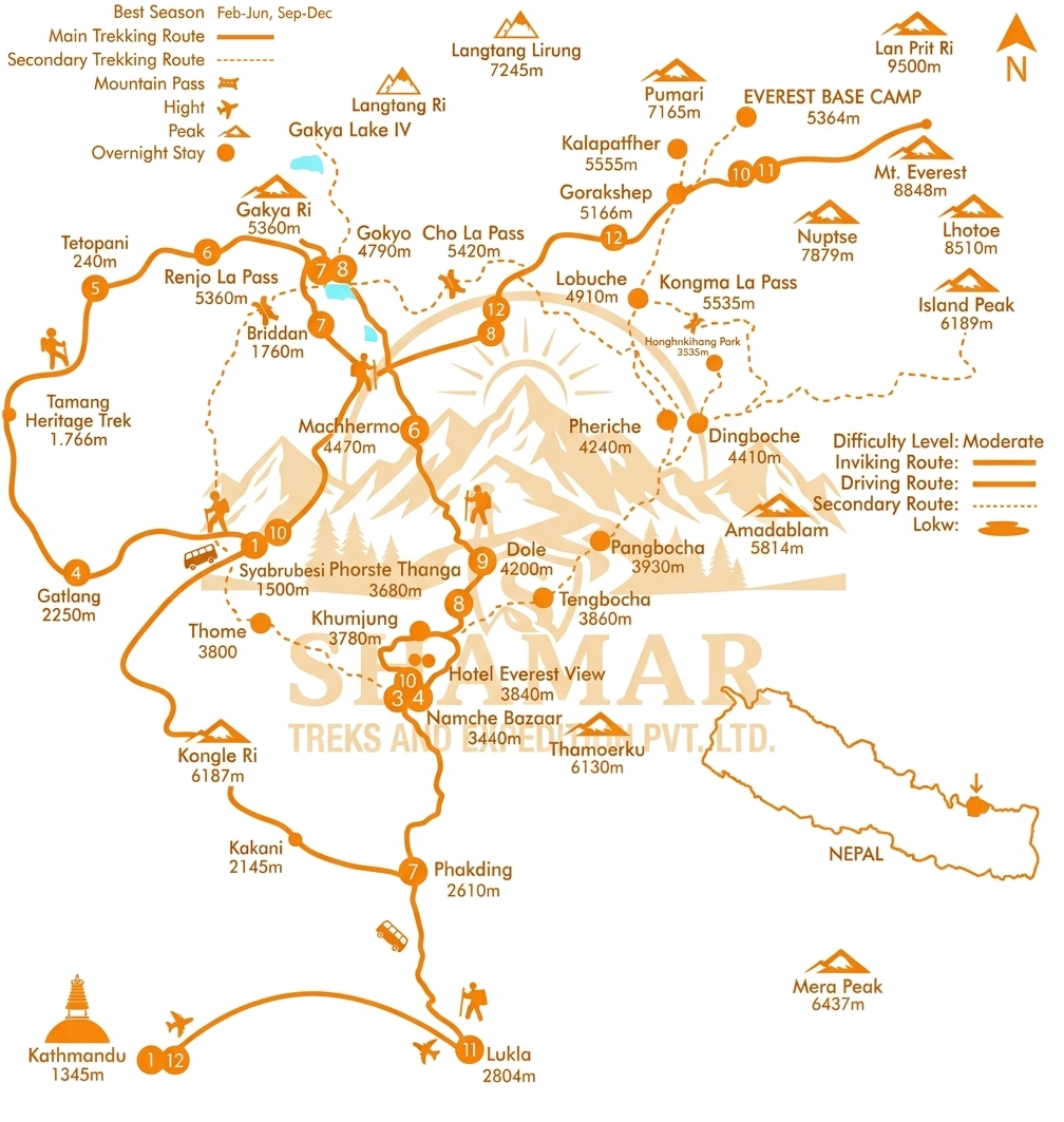
Route Map
Route map image could not be loaded
Showing route for Tamang Heritage Trail Trek
Route Information
Starting Point:Syabrubesi
Ending Point:Syabrubesi
Highest Point:Nagthali (3,165 m)
Key Locations
Syabrubesi
Day 1
start
1,550 m
Gatlang
Day 1
2,238 m
Tatopani
Day 2
2,607 m
Nagthali
Day 3
3,165 m
Thuman
Day 4
2,338 m
Briddim
Day 5
2,239 m
Syabrubesi
Day 6
end
1,550 m
Frequently Asked Questions
The highest point is Nagthali at 3,165 m, reached on day four, and you sleep lower than that every night. For comparison, Namche Bazaar on the Everest trail is 3,440 m. No point on this trek is as high as the place most Everest trekkers spend their first acclimatisation day.
Still have questions?
Our travel experts are here to help you plan the perfect trip. Get in touch with us for personalized advice.
Reviews & Ratings
—
0 reviews
5★
0
4★
0
3★
0
2★
0
1★
0
Share Your Experience
Have you completed this trek? Help other travelers by sharing your experience.